Transition season clouds
Winter isn’t here yet, but the weather in Chicago is showing real signs of its existence. Nights below freezing; unforeseen bursts of snow; and the most characteristic of all: dull, uniform overcast skies, which appear featureless from the ground.
Looking at clouds is usually associated with boredom, but I would argue that one’s boredom is better assessed by what kind of clouds you are looking at.
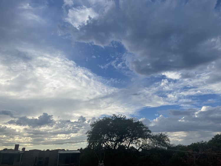
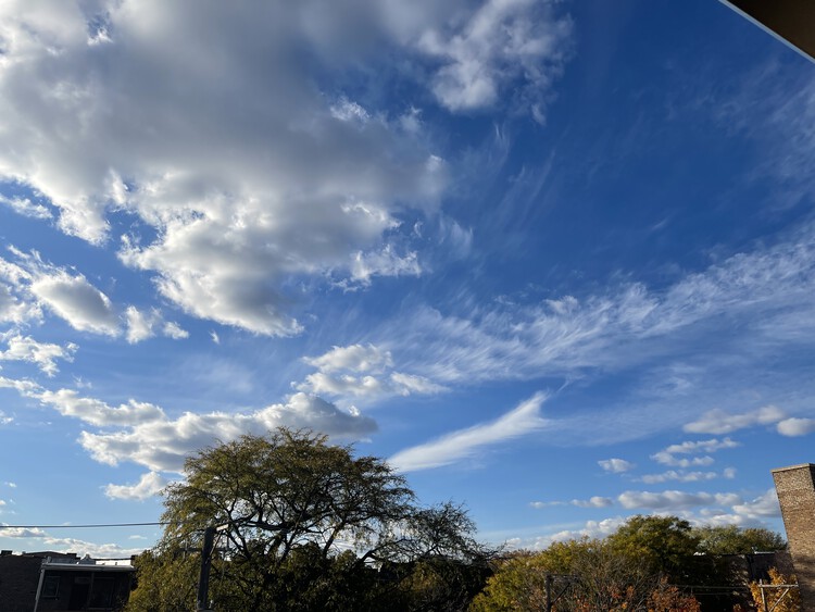
One of the things I miss during the colder months are the complex cloudscapes. Not that these can’t appear in winter; if you see something like the picture above in January, you should pay attention and savor it, for it’s less likely to happen the next day. This is because there is simply less heat thrown into the atmosphere in winter, and heat is the scarce ingredient that churns with the more plentiful cool air. These thermal fault lines in the sky are the cause of the most interesting clouds.
And clouds, in keeping with their reputation for the ephemeral, are at their most interesting when the air is moving, and when their formations are short-lived, a transitional state.
Sources
David Ludlum, The National Audobon Society Field Guide to North American Weather. Knopf, 1991.
Gavin Pretor-Pinney, The Cloud Collector’s Handbook. Chronicle Books, 2011.